Buffalo Soldiers Bicycled 132 Miles Through Yellowstone In 1896
The Buffalo Soldiers who made up the volunteer Bicycle Corps of the 25th Infantry Regiment bicycled 132 Miles Through Yellowstone in 1896.
Buffalo Solider Bicycle Corps
Buffalo Solider Bicycle Corps
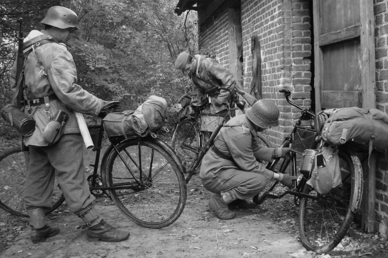
The 25th regiment was based at Fort Missoula beginning in 1888. The 25th was one of four regiments (also including the 24th Infantry and the 9th and 10th Cavalry) that were made up of Black soldiers — these were the Buffalo Soldiers. With the growing popularity of bicycling Major General Nelson A. Miles, as Army Commander-in-Chief, recommended that one full regiment be equipped with bicycles in 1892…pictured here is the Buffalo Solider Bicycle Corps that was formed in response to this order.
Up Close Look At A Rider
Montana Historical Society
Up Close Look At A Rider
On Aug 25, 1896, The Regiment set out to tour Yellowstone. A trip that covered over 130 miles and included some incredibly rough terrain.
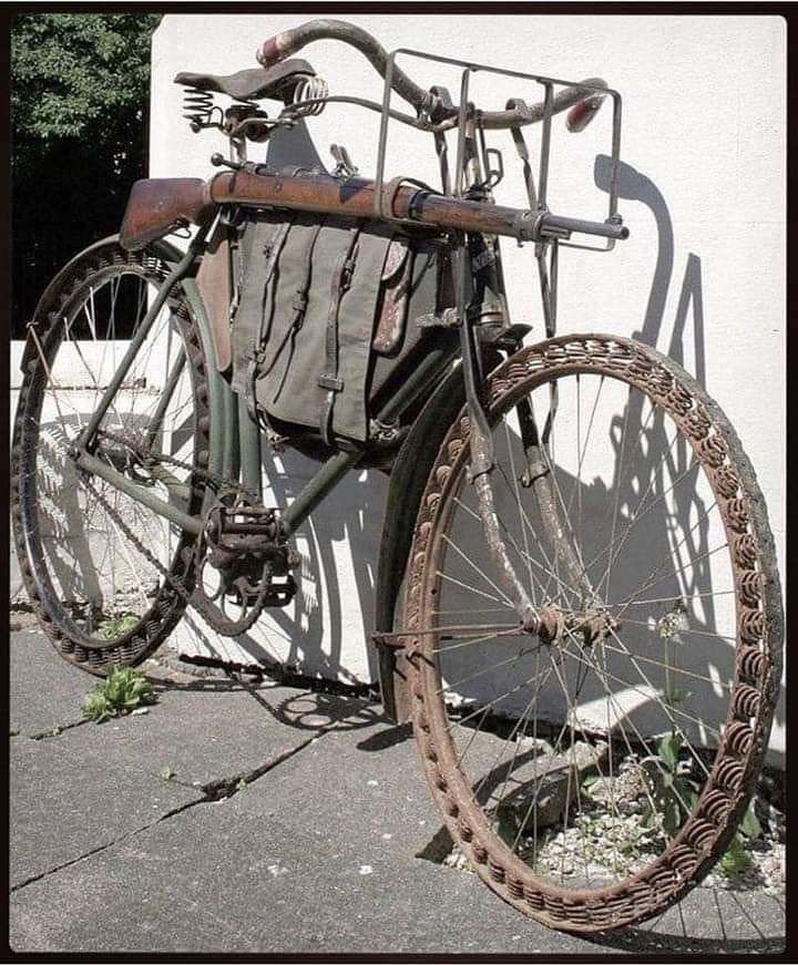
Spalding Military Bikes
The Spalding military bicycles (which were donated by the company at no cost to the military) were furnished with steel rims, tandem spokes, extra-heavy side-forks and crowns, gear cases, luggage carriers, frame cases, brakes, and Christy saddles. They were geared to 68 inches and weighed 32 pounds. The average weight of the bicycles, packed, was about 59 pounds.
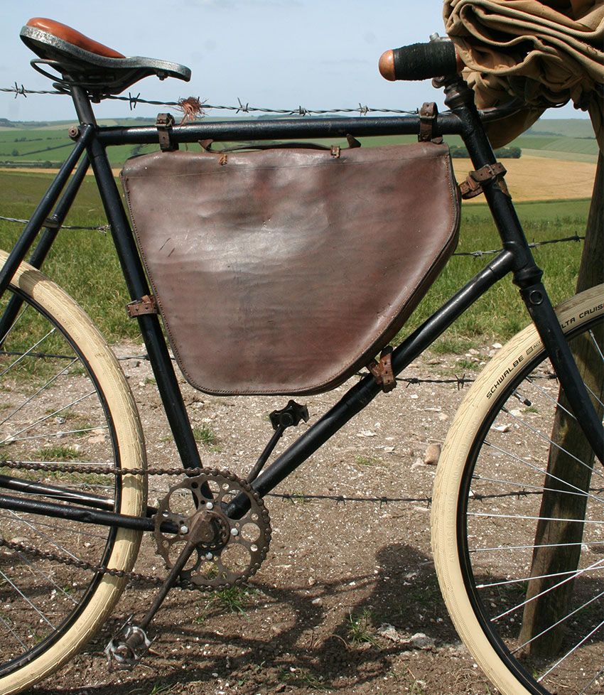
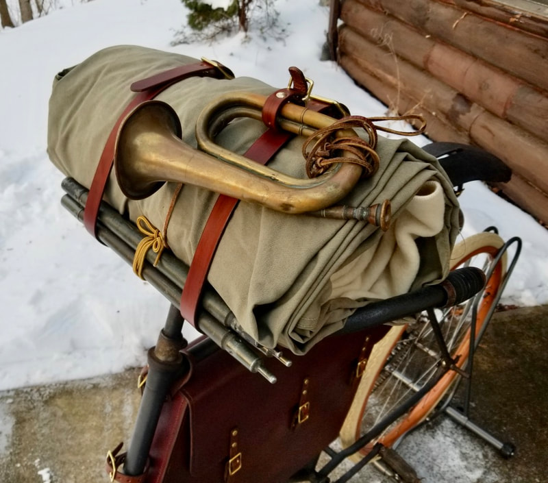
A Few of the “Necessaries” the Soldiers May Have Carried
A Few of the “Necessaries” the Soldiers May Have Carried
There were a variety of items that were issued to the soldiers that they would have carried in their pack. From personal grooming items to playing cards and other items that will help entertain soldiers not to mention the gear needed to maintain and repair their bikes.
Mammoth Hot Springs
Montana Historical Society
Mammoth Hot Springs
The Buffalo Soldiers of the 25th Infantry Regiment Bicycle Corps pose on Minerva Terrace, Mammoth Hot Springs, Yellowstone National Park. Pvt. John Findley, front left, was the primary bicycle mechanic for the unit, and so carried a heavy toolbox attached to his handlebars. Photo by F. Jay Haynes
Climbing the Terraces
Montana Historical Society
Climbing the Terraces
The Buffalo Soldiers of the 25th Infantry Regiment Bicycle Corps walk their cycles up Minerva Terrace, Mammoth Hot Springs, Yellowstone National Park.
Minerva Terrace
Montana Historical Society
Minerva Terrace
The Buffalo Soldiers of the 25th Infantry Regiment Bicycle Corps ride on an inactive portion of Minerva Terrace, Mammoth Hot Springs, Yellowstone National Park. Photo by F. Jay Haynes, 1896
A Quote From Lt. James A. Moss
Montana Historical Society
A Quote From Lt. James A. Moss
“The bicycle, as a machine for military purposes, was most thoroughly tested under all possible conditions, except that of being under actual fire. The Corps went through a veritable campaign, suffering from thirst, hunger, and the ill effects of alkali water, cold, heat and loss of sleep. A number of times we went into camp wet, muddy, hungry and tired …. Much of the time the roads were so bad that the Corps had to dismount and push their wheels along railroad tracks.”
The above Article adapted from the following site… we encourage ALL to visit and support them.
https://fortmissoulamuseum.org/exhibit/25th-infantry-bicycle-corps/
&&&
The following is our part….
Observations – covering 50 miles a day is a good rate of travel across country. It also translates into a good way to patrol your AO or to run a courier system between towns or posts.
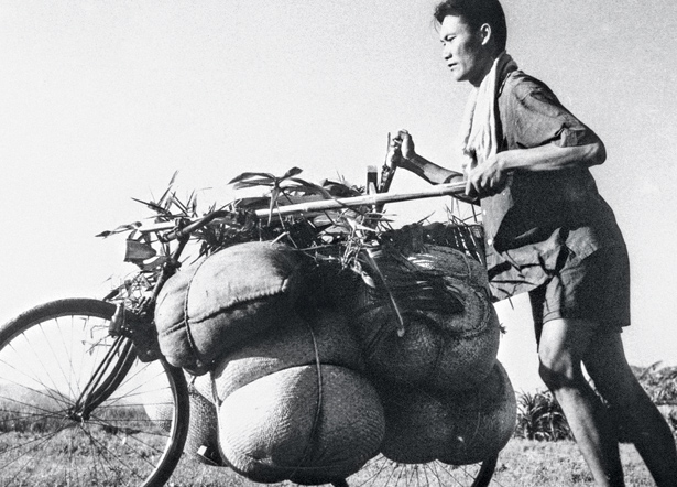
Obviously terrain and load would be limiting factors along with unfriendly action in the AO. Back in the 1960-70s the Viet Cong and NVA transported TONS of munitions and other supplies via bicycle along the Ho Chi Mien trail from the north into South Viet Nam. Most of the time they used single bikes loaded with whatever and pushed them. Often for the heavier loads they had made bars which tied 2 bikes together so they could carry larger payloads. After the payloads were delivered they would ride the bikes back to the north and repeat the process. They often used bikes / riders as couriers between units.
Often the civilian police forces in this US of A during ‘good’ weather have officers patrolling the streets on bikes [and motorcycles] along with the standard patrol vehicles.
This helps the police quietly roll up on crimes in progress. The officers get to know their patrol areas better AND get to know the people better too! Not only does this save on fuel costs it helps the officers to be more physically fit which is a win-win all the way around.
The Viet Cong used a system of bars which tied 2 bikes together at a set spacing which also kept them from shifting side to side or falling over. There were also bars which formed the load platform. Most of them as I recall had wing nuts to make it easier to adjust and assemble/disassemble them in the field. The front end could be a vertical X and the back end a horizontal V
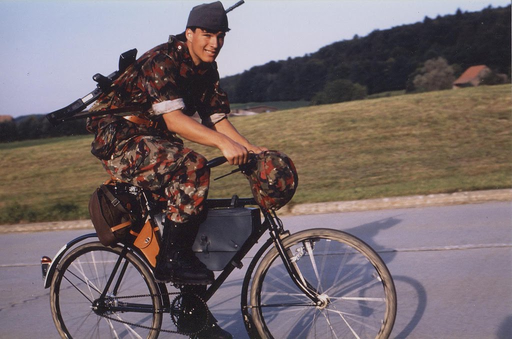
Given the long history of bicycles and the even LONGER history of war, bikes make good logical sense to include in any [almost any] survival plan for long term transportation of people and materials. The bikes in addition to the following ones can also be configured for medical staff and used as ambulances.
What are YOUR thoughts on this??

